
Advanced Surveying and Mapping Technology
Credit: 3 PDH Hours
Course Fee: $45.00
Pages: 35
How it Work!
- Register first and log into your account. Study and take the quiz for FREE until passed.
- After passing the quiz, follow the page, pay for the course and print your certificate.
Course Summary:
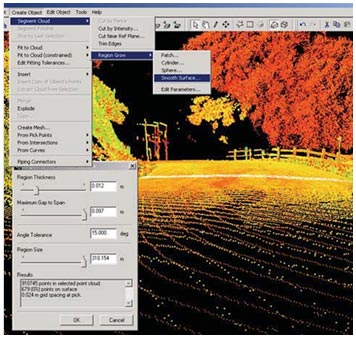
The subject study was performed in 2002 and 2003 to assess the applicability of advanced surveying and mapping technologies to typical assignments at the Federal Lands Highway Divisions of the Federal Highways Administration. Ground-based laser scanning systems had been identified as an emerging technology that could have applications for surveying and mapping tasks.
Learning Objective:
By the end of this course the student will learn about the advancements of LiDAR and ground based laser scanning in visualization and virtual topographic mapping through the point cloud data.
Course Author
Franco F. Davati, P.E.
Review the quiz before studying the course.Certificate of completion of the course
This course comes with a multiple-choice quiz. You can view the quiz and take the quiz if you are logged in your account. You can take the quiz for this online PDH course as many times until passed. The passing grade is 70% and above. After you pass the quiz simply follow the page, to pay for the course and print your certificate instantly. A copy of the certificate and receipt for this course will always be in your account.Acrobat Reader is required to view this document. Click here to download a free copy of Acrobat Reader.
This online PDH course can also be used as a continuing education course for the following.